3 days in Death Valley National Park will give you an opportunity to explore several of the most unique landscapes in the United States.
I’d been wanting to visit Death Valley National Park for years, and only recently got the opportunity. Let me tell you, I was not disappointed.
As an aficionado of desert landscapes, Death Valley had my full attention from the moment I entered the park.
During your 3 days in Death Valley you’ll get the chance to see the park’s most popular sites like Dante’s View, Artist’s Palette, and the Mesquite Flat Sand Dunes.
I can confirm all of these Death Valley park attractions live up to the hype.
If you love nature and exploring unique landscapes, Death Valley National Park will be an incredible experience for you.
Some of the links in the post are affiliate links. If you make a purchase through these links it helps to support this site at no extra cost to you.
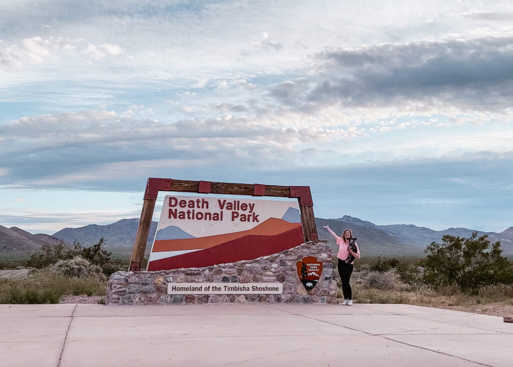
3 Days in Death Valley
With over 3 million acres of dedicated wilderness space, you’ll have lots of ground to cover during your three days in Death Valley.
While you certainly won’t have time to see it all, you’ll be surprised by what you can see on your Death Valley road trip through this incredible park.
I’ve organized this Death Valley itinerary in order to make the best use of your time. Essentially, I’ve grouped park attractions together based on their location.
This Death Valley 3 day itinerary intends to ensure you have an easy and enjoyable time visiting the park.
I honestly had such a great time here, I now consider Death Valley to be one of my favorite National Parks. I hope you like it as much as I did.
Best Time to Visit Death Valley National Park
Since Death Valley is in a literal desert, the best time to visit Death Valley National Park is in the late fall, winter, and early spring.
For your own safety, you want to visit Death Valley when the temperatures are mild.
No matter when you plan your visit, be sure to keep an eye on the weather forecast. Temperatures in Death Valley can get high even in the winter.
To be on the safe side, I encourage you to explore the park in the hours around sunrise and sunset. Not only will temperatures be cooler at this time, but the lighting is also spectacular.
If you haven’t seen a true desert sunrise or sunset yet, you’re in for a treat.
Where is Death Valley National Park?
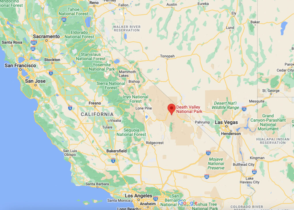
Death Valley National Park is located in Eastern California along the Nevada border.
The park is located in the northern Mojave Desert, and is considered to be the hottest place on Earth during the summer months.
Death Valley is also home to the lowest point of elevation in North America. This point is located in Badwater Basin which sits at 282 feet below sea level.
How to Get to Death Valley National Park
You will definitely need your own vehicle to visit Death Valley National Park. The vehicle MUST have working air conditioning.
I also encourage you to only travel to Death Valley in a well functioning vehicle. This is not the place to visit in the rust bucket car you bought off Craigslist for $500.
The park is located a good distance from most major cities, and once inside the park, there is no shuttle or public transportation.
Death Valley is also the largest national park in the continental United States at over 3.3 million acres, so there’s lots to see if you have the time.
Here are the driving distances from other major cities and popular places on the West Coast:
Las Vegas to Death Valley: 2 hours (126 miles)
Los Angeles to Death Valley: 3 hours 30 min. (214 miles)
San Francisco to Death Valley: 7 hours (458 miles)
Grand Canyon to Death Valley: 6 hours (379 miles)
Yosemite National Park to Death Valley: 6 hours 15 min. (366 miles) (West Entrance)
Mammoth Lakes to Death Valley: 2 hours 40 min. (153 miles)
Lone Pine to Death Valley: 1 hour 10 min. (55 miles)
Joshua Tree National Park: 4 hours (229 miles)
Death Valley Itinerary 3 Days
Considering the size of the park, three days in Death Valley should be about the perfect amount of time for your visit.
This Death Valley 3 day itinerary will give you enough time to see the park’s biggest attractions, and leave you with some time to wander.
Part of the magic of visiting a destination like this is getting to stumble across the unexpected. So leave plenty of time for just that.
Death Valley YouTube Video
If you prefer to see this itinerary in video form, you can watch my YouTube video up above.
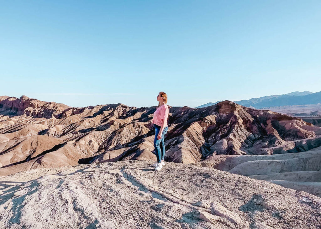
Zabriskie Point
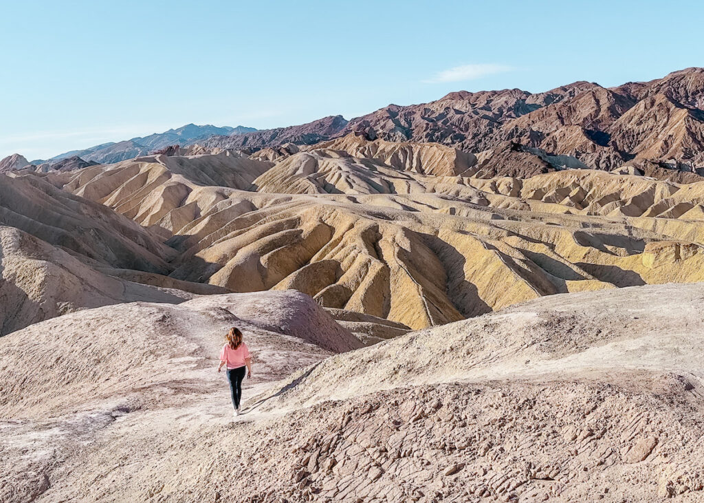
Zabriskie Point is a place of spectacular sunrises.
Even if you’re not a morning person, you need to get up on time to catch a sunrise here. The morning light reflecting off the colorful badlands below is a sight you won’t soon forget.
If you do get here for sunrise, you’ll likely have plenty of space to yourself. Despite this being one of the best spots in the park to see the sunrise, not many people are willing to get up early to do so.
In addition to the paved overlook area, you can also walk down into the badlands. There are a few trails that start here including Golden Canyon, Badlands Loop, and Red Cathedral.
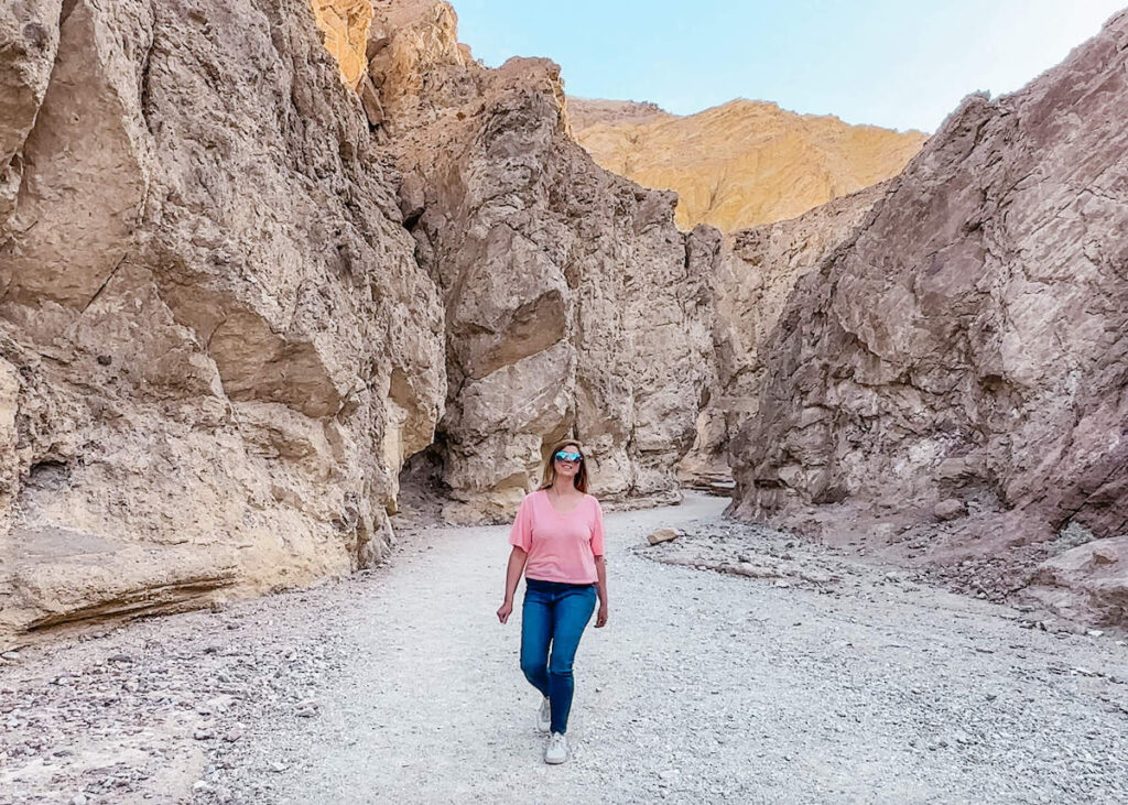
Golden Canyon
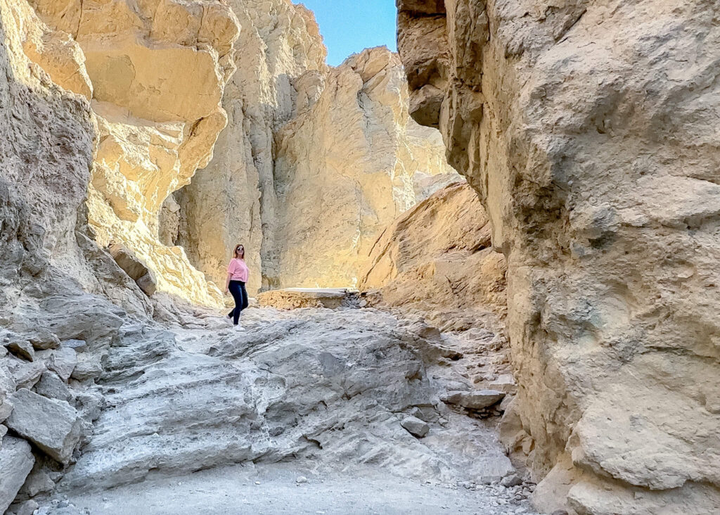
Golden Canyon is a rocky trail that winds through multiple canyons. This hike is at its most beautiful in the early morning as the sunlight streams through the canyon creating a golden glow on the canyon walls.
The Golden Canyon Trail can be combined with the nearby Gower Gulch Trail to create the 4.3 mile Gower Gulch Loop trail. This loop trail will begin and end at the parking area located off Badwater Road.
The trail begins with a gradual and rocky ascent up through the canyon. You’ll keep making your way up through the colorful badlands until you see the sign for Gower Gulch.
The Gower Gulch section of the trail is moderately downhill with some narrow slot canyons before you reach the parking lot.
This is considered a moderately difficult hike with some rock scrambling necessary.
The Gower Gulch Loop Trail will take about 2 hours 30 minutes to complete and is one of the park’s most popular hikes.
For those that do not wish to do a long hike, I recommend walking up a few minutes into Golden Canyon.
You don’t need to go far to see the best parts of the canyon. Just walk up until you feel like turning around.
Artists Palette
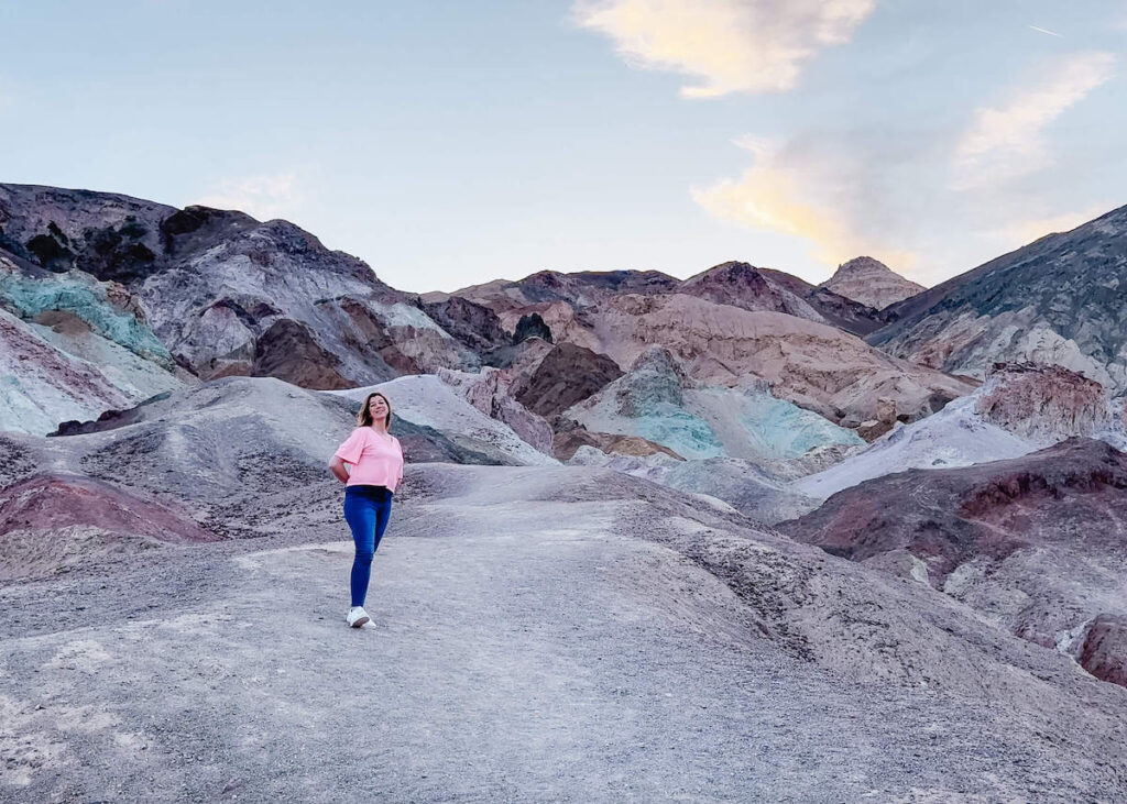
Artists Palette is a hillside dotted with splashes of vibrant color including pinks, oranges, yellows, and blues.
These pastel colors are the result of volcanic depots left behind that are rich in compounds such as iron oxides and chlorite.
Regardless of how they got there, these colorful hillsides are popular with park visits and make a unique background for photos.
To get to Artists Palette you’ll take Artists Drive, which is a scenic 9 mile loop located off Badwater Road. The loop winds through the hills near Artists Palette and is honestly an attraction all on its own.
I recommend arriving early if you’d like to get photos at Artists Palette without the crowds. Though, there is plenty of room to spread out as you wander along the trails. If it’s busy, just get creative your angles.
I arrived here just after sunrise and it was just me and one other couple. To my delight, it was an Instagram influencer and her Instagram husband. As you can imagine, it was highly entertaining.
Influencers aside, Artists Palette is a beautiful landscape and well worth exploring. I encourage you to spend some time wandering around off the beaten path and see what you find.
Devil’s Golf Course
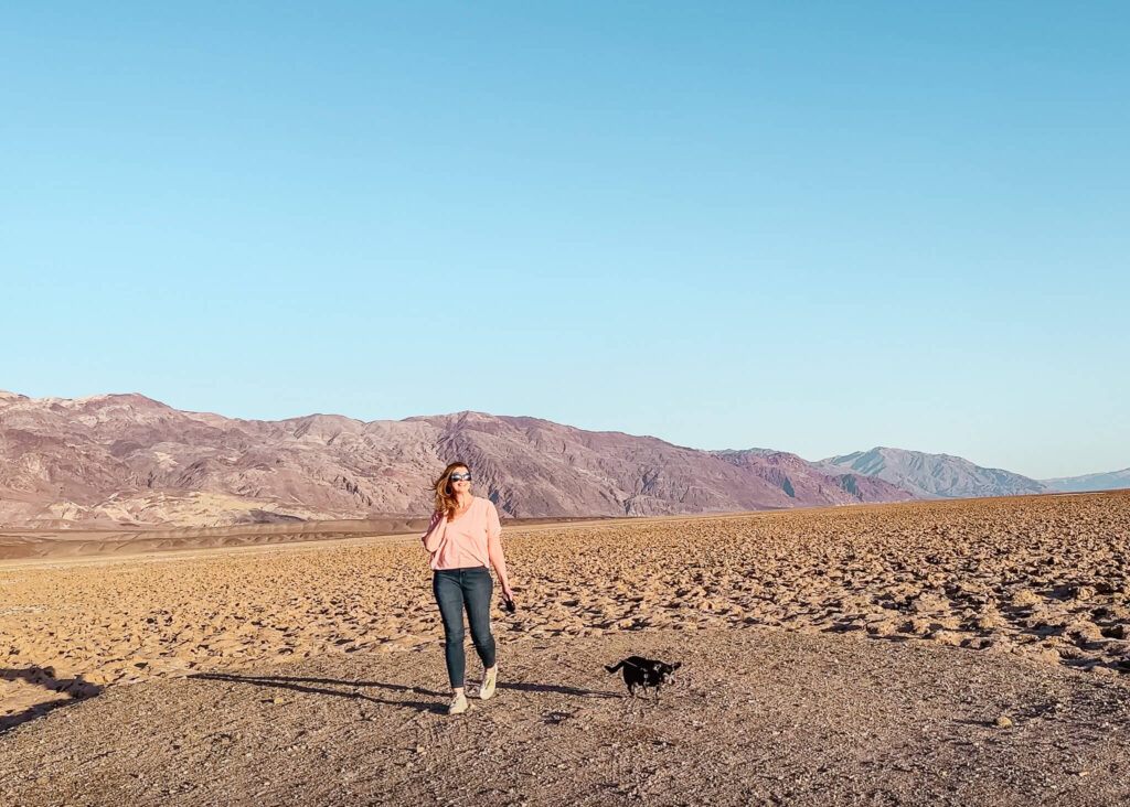
Devil’s Golf Course is a quirky looking landscape located about 20 minutes from Artists Palette.
The Devils Golf Course is located on a large salt pan covered with large, jagged spires of salt deposits. The unique landscape was formed when the former Lake Manly evaporated.
Groundwater is always seeping up to the surface adding to the salt formations.
Those formations are then shaped by the forces of wind and rain erosion into the jagged spires you see today.
To reach Devil’s Golf Course you’ll need to drive down a dirt road for one mile. The turn off is located right off Badwater Road.
The dirt road is relatively flat and smooth. My Fiat 500 made the trip just fine.
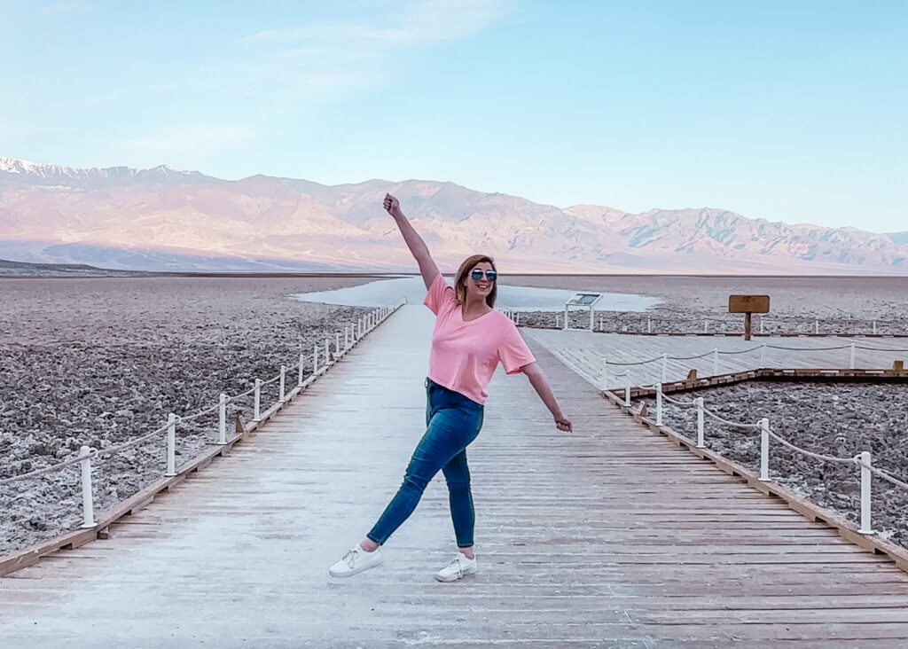
Badwater Basin Salt Flats
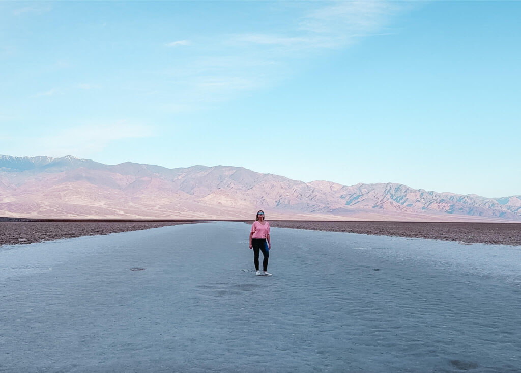
Death Valley’s Badwater Basin is the lowest point in the United States sitting at 282 feet below sea level.
The salt flats cover about 200 square miles and are made up of mostly sodium chloride (table salt), and also calcite, gypsum, and borax. Yes I tasted it, and yes it was gross. I couldn’t help myself.
If you visit here in the early morning you may get lucky and have the place to yourself. The salt flats are fun to explore, once you walk out far enough it looks like another planet.
The salt flats are also a fun place to get photos with the beautiful desert landscapes in the background.
Be sure to look up as you make your way back to the parking lot. There’s a sign fixed to the rocky cliffs behind the parking area showing you where sea level is.
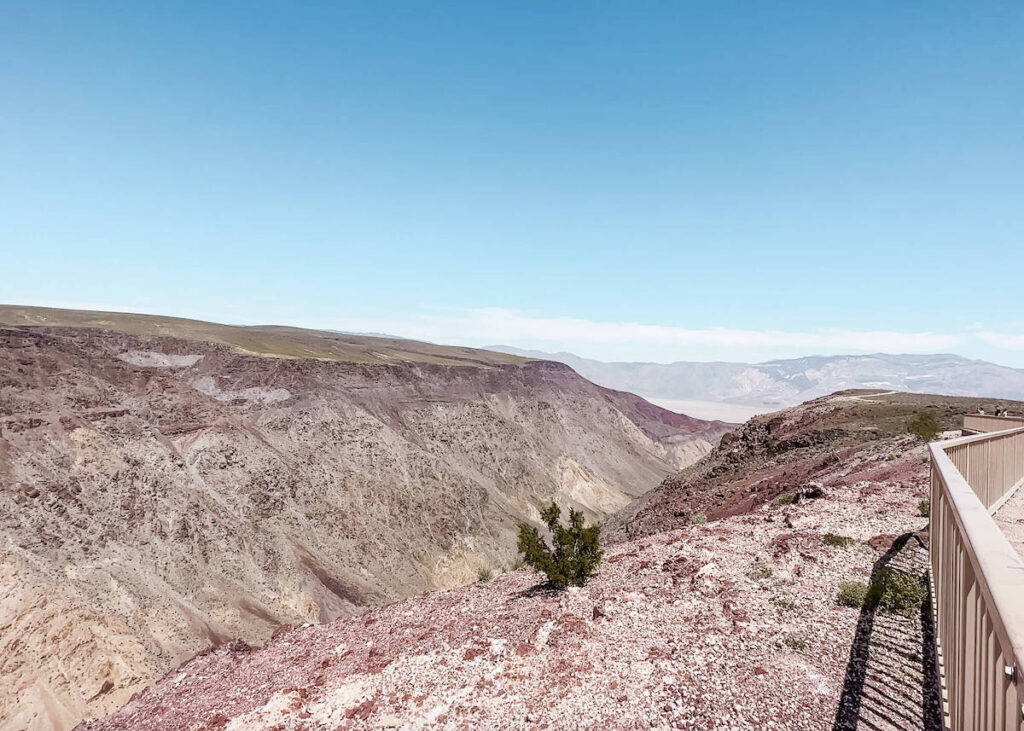
Dante’s View
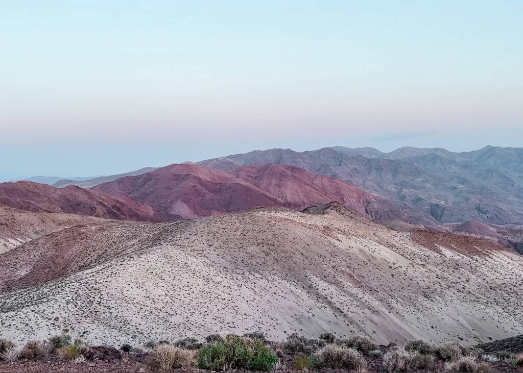
Dante’s View is another great location in the park for sunrise or sunset.
Towering at almost 6,000 feet over Badwater Basin, you can see the salt flats and desert down below.
I visited on a particularly windy evening and had a great time trying to get photos while trying not to lose my camera and tripod to a gust of wind.
Dante’s View is a popular place for photography, especially at sunset. There’s a sizable parking area here, so there are plenty of parking spaces.
However, if visiting during peak season I would arrive early if you’re hoping to catch sunset.
Even on the busiest of days there is lots of room to spread out. There are several trails and pathways around the area, so you can find a spot of your own to enjoy the view.
If you’re looking for a good stargazing spot, Dante’s View makes a great choice. It’s a bit of a drive from the other park attractions, so it’s often not as busy as other areas of the park.
Devil’s Cornfield
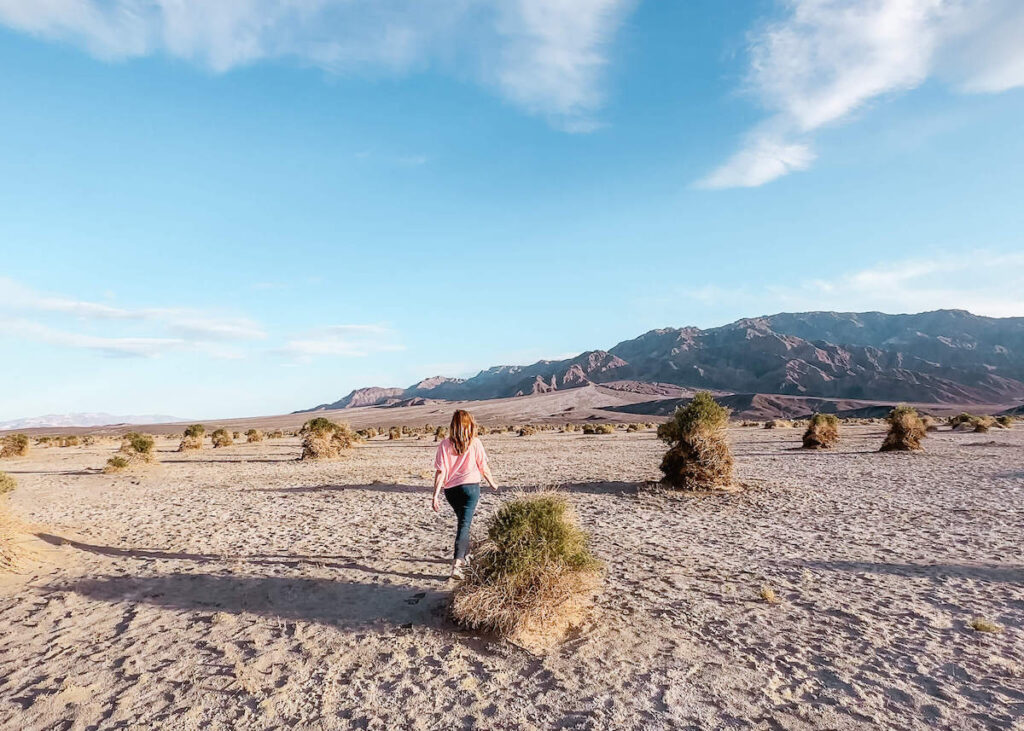
Devil’s Cornfield is located near Stovepipe Wells and the Mesquite Sand Dunes. As you can see from the photo above, it’s a vast field dotted with piles of Arroweed.
From what I’ve read, back in the day settlers saw the stacks of Arroweed and thought it was a corn field. They were presumably disappointed, but the Arroweed sure makes for an interesting landscape.
There are a few roadside pullouts to view Devil’s Cornfield, but there is no parking lot. You don’t need much time here, but it’s fun to get out and explore a bit.
Harmony Borax Works
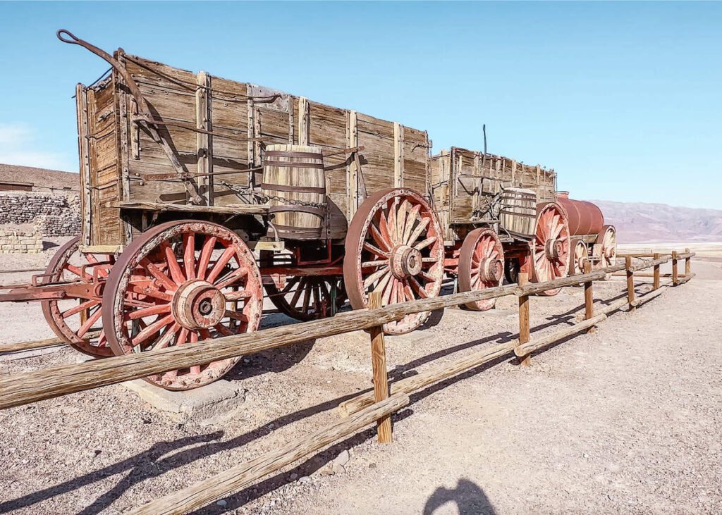
Harmony Borax Works is a historic site located near the Furnace Creek Visitor Center.
The site was used to extract borax, a mineral used for various purposes such as making soap, glass, and ceramics.
The borax extracted from this location was then transported to the nearest railway station via a twenty mule team wagon. This transportation method was an iconic symbol of the mining industry in the area.
Today, visitors can learn about the history of borax mining in the region and explore the remains of the old borax works.
Mesquite Flat Sand Dunes
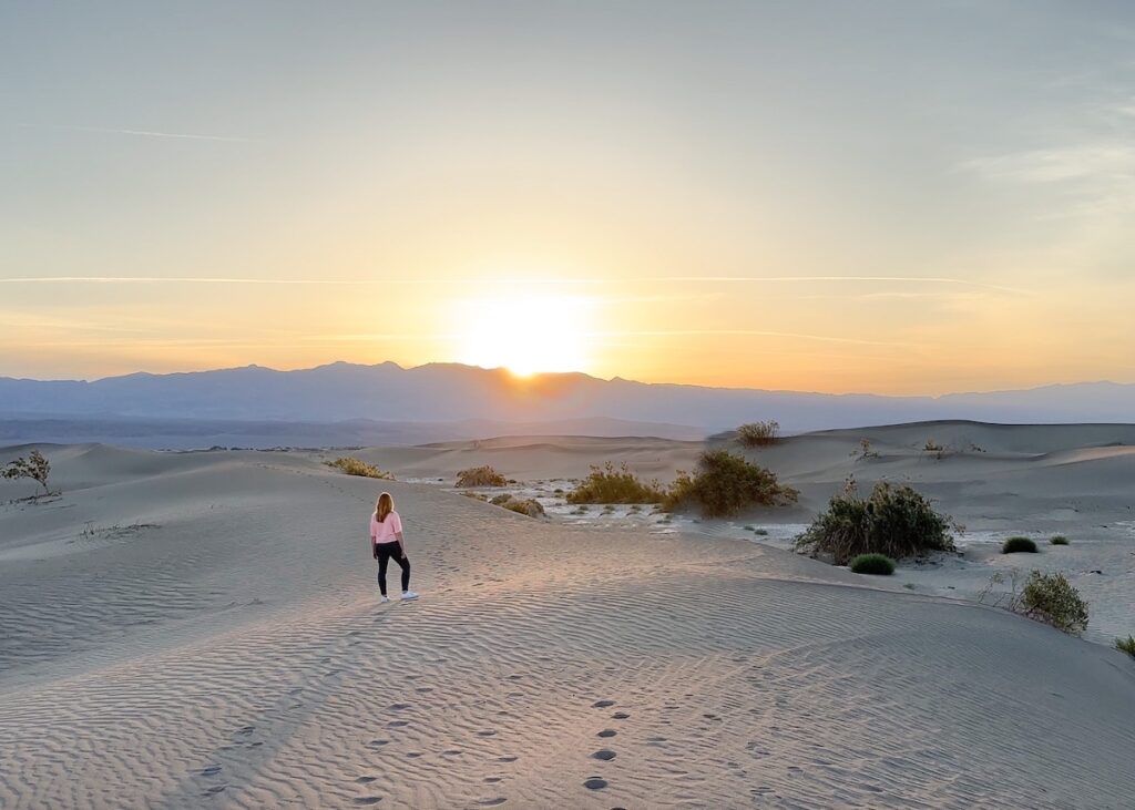
The Mesquite Flat Sand Dunes was my favorite place in the entire park.
I got up before sunrise to make it there in time to catch the sun coming up over the horizon. It was so quiet and peaceful, I could have stayed there for hours.
The sand dunes get very busy by mid to late morning, but at sunrise you’ll get some space to yourself.
Head out to a spot away from other people, set up your camera, and just enjoy the view.
The sand dunes are also very popular place for stargazing on a clear night.
Rainbow Canyon
Rainbow Canyon is located near the western park entrance of the park just a few minutes from Panamint Springs Resort.
The colorful canyon is also commonly referred to as Star Wars Canyon due to the canyon’s former use as a testing area for military aircraft.
While Rainbow Canyon is no longer used for test flights for the military, it remains a beautiful welcome point for travelers entering the park.
You’ll come across the Father Crowley Vista Point shortly after entering the park from the west. There is plenty of parking and a large paved platform where you can view the canyon.
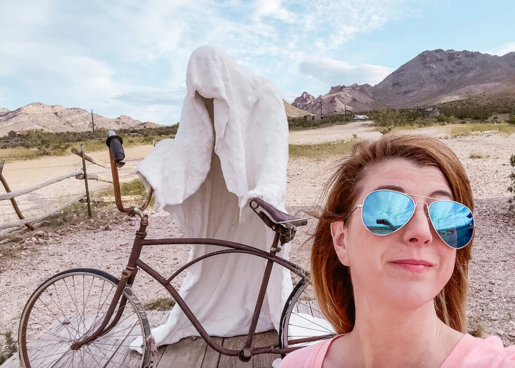
Rhyolite Ghost Town

If you have extra time in your three day Death Valley National Park itinerary I encourage you to stop at Rhyolite Ghost Town.
Rhyolite Ghost Town was a quirky and unexpected surprise during my visit to Death Valley. I hadn’t heard of the place prior to my trip, but kept driving past it when visiting the park.
I eventually decided to just stop and check it out, and I’m so glad I did.
Rhyolite is located near Titus Canyon just outside the eastern entrance to the park near Beatty, Nevada.
Rhyolite was a former mining town, but the mines closed down in 1911. The lights and power to the town were turned off a few years later in 1916.
Today visitors can explore what’s left of the old mining town including an old bank building, the train depot, and the old jail.
Nearby you’ll also find the bottle house, which is a house constructed from old glass bottles.
If all that weren’t enough to convince you to visit Rhyolite, there’s also an open air art exhibit featuring artist Albert Szukalski’s sculpture rendition of Leonardo da Vinci’s Last Supper.
A small piece of that exhibit is pictured above.
I hope you’ve enjoyed this 3 days in Death Valley National Park itinerary and that I’ve inspired you to plan a visit of your own. Thanks for reading.
Related Posts
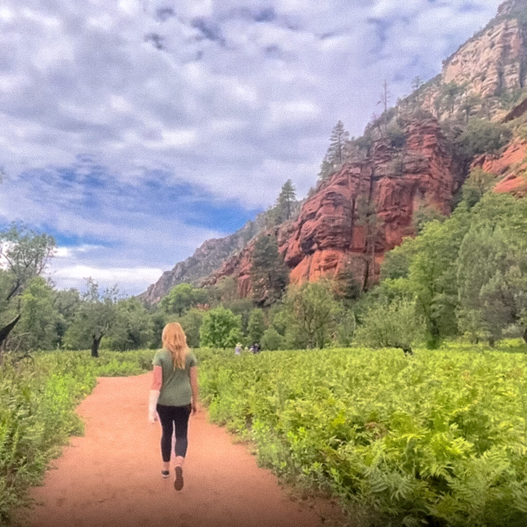
Flagstaff to Sedona Road Trip Itinerary
The drive from Flagstaff to Sedona is one of the most beautiful drives in the…
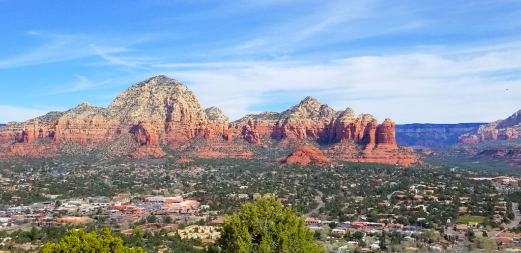
Scottsdale to Sedona Day Trip Itinerary
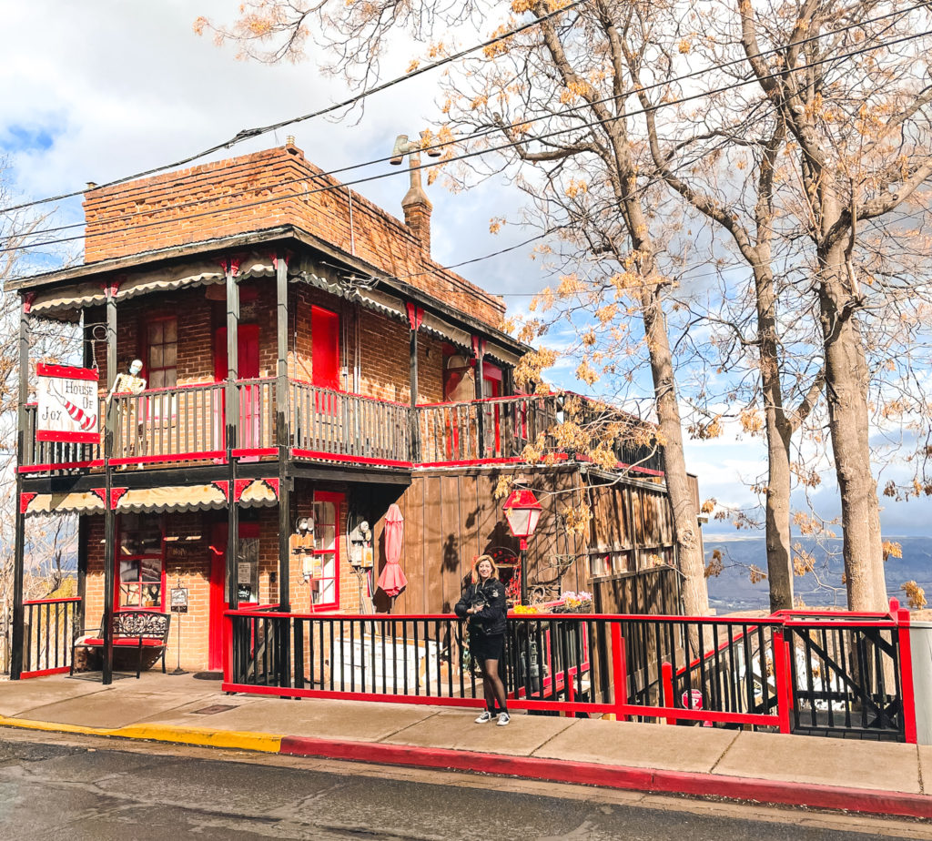
10 Best Things to Do in Jerome Arizona
The best things to do in Jerome can all be enjoyed in one day or…
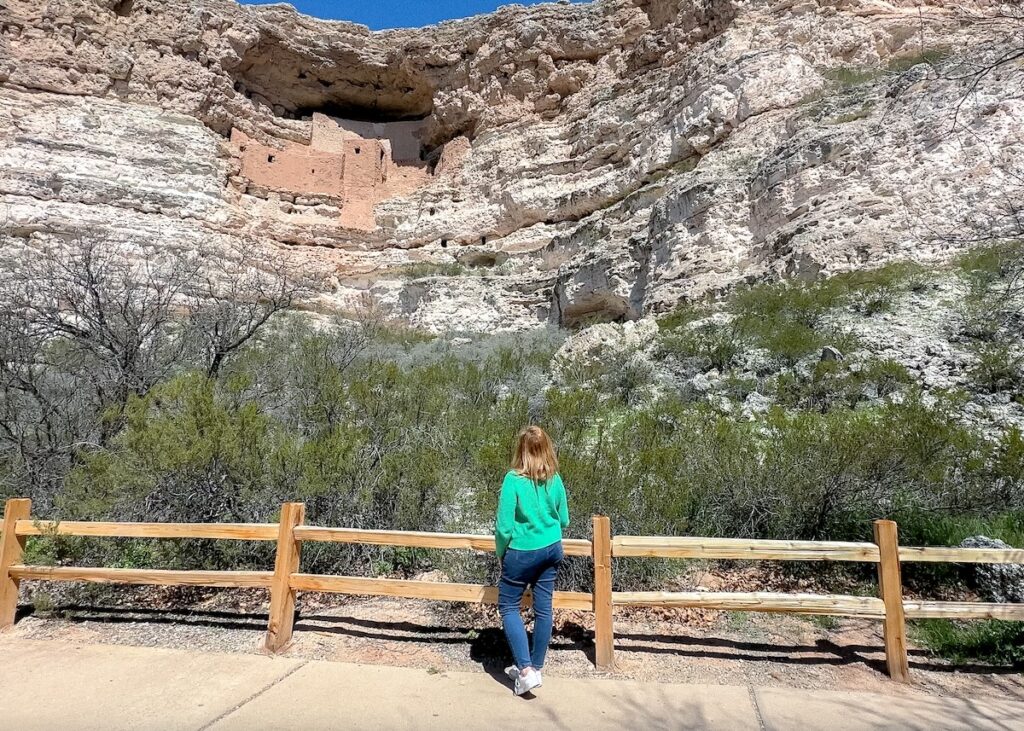
Montezuma Castle National Monument Travel Guide
This Montezuma Castle National Monument travel guide will help you plan your visit to this…
Things to do at Arcosanti Arizona
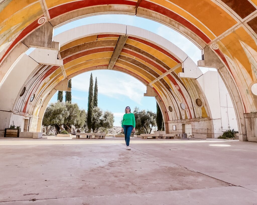
Arcosanti Arizona is one of the most unique and interesting cities in the Southwestern USA….
Organ Pipe Cactus National Monument Travel Guide
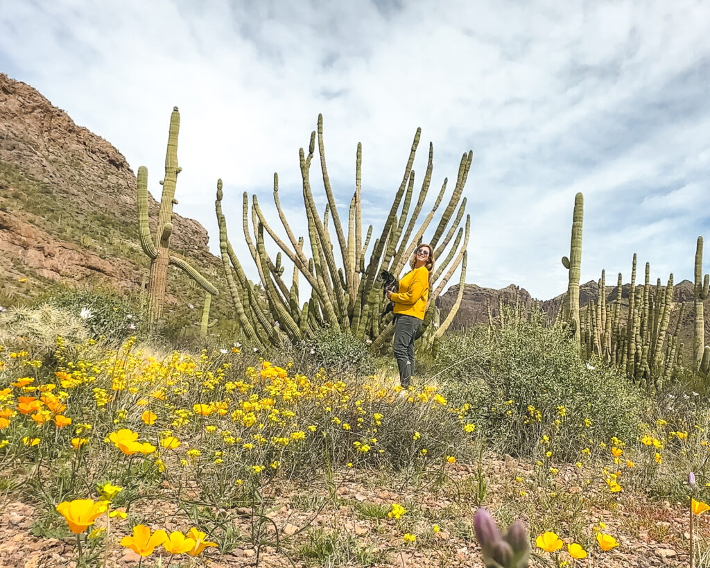
Organ Pipe Cactus National Monument is a must visit during an Arizona road trip. This…

Eden Fite
Solo Traveler | Dog Lover | Avoider of CrowdsI help busy people find creative ways to travel more.