These easy hikes in Sedona Arizona are the perfect way to get outside and explore this beautiful destination no matter your age or fitness level.
After many visits to Sedona over the years I’ve learned all the best spots to take in the city’s iconic red rock views.
While Sedona is packed with challenging hiking trails that scale the area’s various red rock formations, you don’t have to be a mountain climber to enjoy the sights when you’re here.
In fact, in my opinion, some of the best views in the area can be enjoyed from any of these easy hiking trails in Sedona.
The trail I visit most is the Bell Rock Loop Trail. I talk more about this one down below, but I think you’ll love this trail too. It’s extremely easy to get to, and you really can’t beat the scenery.
Whether you’re short on time, or just looking for an easy way to enjoy the outdoors in Sedona, these easy hikes are sure to impress.
Keep reading to see all my favorite easy hikes in Sedona including how to find the trails and what the parking situation is like.
Some of the links in the post are affiliate links. If you make a purchase through these links it helps to support this site at no extra cost to you.
Easy Hikes in Sedona Arizona
Sedona is jam packed with outdoor adventure opportunities, and one of the best ways to experience the area is to hike one of the many easy trails in Sedona.
This list of easy hikes in Sedona is based on my own favorite trails in the area after many, many visits over the years. However, there are many more trails in the area than what I’ve included here.
At the bottom of this post I’ve included a list of other easy hikes in Sedona if you don’t find what you’re looking for here.
Be sure to pick up a Red Rock Pass when you arrive at any of the trailheads mentioned below. The Red Rocks Pass is how you pay for parking at Sedona’s various trailheads.
You can use cash or card at the Red Rock Pass machines located in the parking areas. The cost of $5 per day, or $15 per week.
You’ll need to place your Red Rock Pass in your dashboard at each parking area, so be sure to hold onto it until the end of your trip.
1. Red Rock Crossing Trail
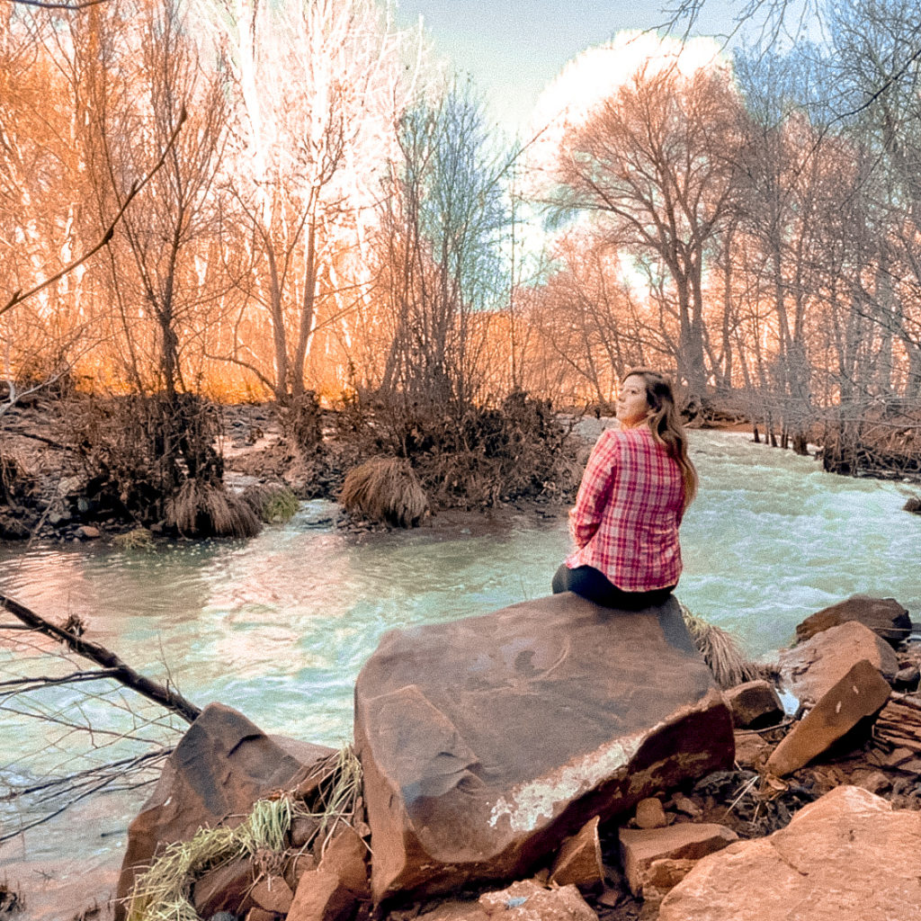
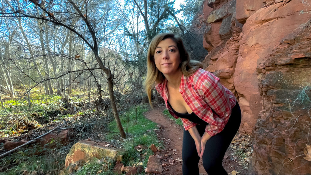
I’m starting off this list with the Red Rock Crossing Trail because it was one of my favorite hikes during my recent trip to Sedona.
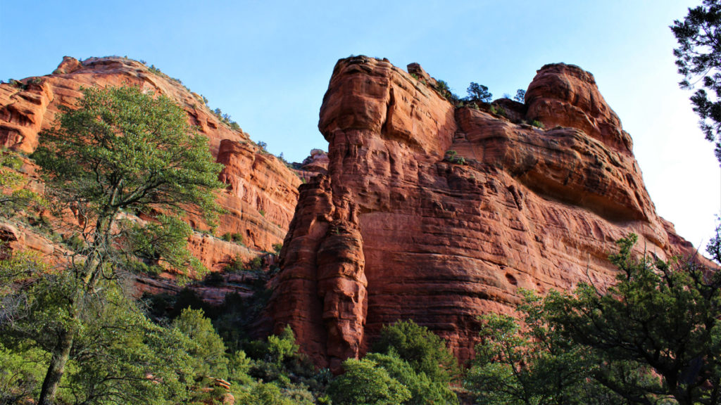
The Red Rock Crossing Trail winds alongside Oak Creek and has several stretches that are tree lined and shaded. There are also wide open sections with incredible views of Cathedral Rock up ahead.
The Red Rock Crossing Trail is mostly flat and well worn, making it easy for kids or those looking to avoid strenuous activity.
What I love most about this trail is it’s proximity to Oak Creek. I enjoyed watching all the ducks float by as I made my way towards Cathedral Rock. You’ll also find plenty of rocks to sit on along the way if you want to stick around for a while.
A few things to note about this trail. The Red Rock Crossing Trail intersects with the Baldwin Trail after about a quarter mile, at which point it is identified as the Baldwin Trail in Google Maps.
A bit further up the trail the Baldwin Trail and Templeton Trail will intersect. At this fork, you’ll want to take the Templeton Trail which will lead you to the Cathedral Rock Trail.
The other option of course is to take the Baldwin Trail loop back to the Baldwin Trail trailhead and parking area. However, I think the views along the Templeton Trail as you approach Cathedral Rock are what make this hike so incredible.
Once you hit the Cathedral Rock Trail you can either make the trek up to the top of Cathedral Rock, or enjoy the views and then head back the way you came.
Do keep in mind the Cathedral Rock Trail is not an easy hike.The route up to the top of Cathedral Rock is strenuous and difficult. However, you don’t need to hike to the top to have incredible views.
The entire trail is gorgeous, you won’t be disappointed.
How to get to Red Rock Crossing Trail
Hot to find it: In Google Maps search “Baldwin Trail Trailhead.” This will lead you to the parking area for both the Baldwin Trail and Red Rock Crossing Trail along Verde Valley School Road.
After parking you can either follow the Baldwin Trail across the street to meet up with the Red Rock Crossing Trail, or walk down the hill on Verde Valley School Road to where the street dead ends. At the dead end look to your right and you’ll see a well worn trail heading in the direction of Cathedral Rock.
Trail length: 3 miles miles out and back if you stop where the Red Rock Crossing/Templeton Trail intersects with the Cathedral Rock Trail.
Approximate duration: About 90 minutes with stops to enjoy the views along the way.
Parking: There are about a dozen spots right at the Baldwin Trail trailhead. If you arrive for sunrise you should find plenty of spots available.
2. Mescal Trail

The Mescal Trail is one of the most popular Sedona hiking trails because it leads to the famous Devil’s Bridge Trail.
While the Devil’s Bridge Trail leading up to Devil’s Bridge is incredible, it’s also extremely steep and difficult. So if you want incredible views on a much easier trail, then the Mescal Trail may be what you’re looking for.
If you don’t mind an early wake up time, I highly recommend the Mescal Trail as a Sedona sunrise hike. The surrounding red rocks along this trail light up and glow at sunrise and it’s absolutely beautiful.
Take a look at the photo above to see what I’m talking about. That’s not Photoshop, that’s really what it looked like.
While this section of the trail is short at just 1.2 miles from the parking area to the Devil’s Bridge Trailhead, it’s a fun trail with epic views nearly the entire way.
This trail is mostly flat but there are some small hills up and down along the way, nothing too steep.
How to get to the Mescal Trail
Hot to find it: In Google Maps search “Mescal Trailhead” to obtain driving directions. The trail is located just north of West Sedona.
Trail length: Approximately 1.2 miles from the parking area at the Mescal Trailhead to where the trail intersects with the Devil’s Bridge Trail. There and back is 2.4 miles round trip.
Approximate duration: About 1 hour or so if you stop to enjoy the view.
Parking: The parking lot here has about two dozen spots, maybe more.
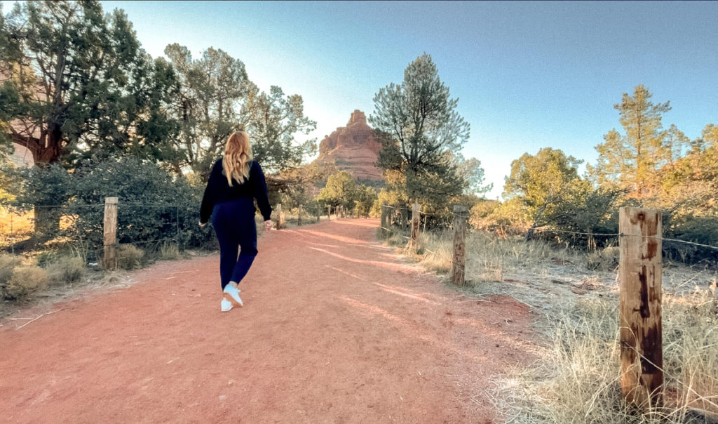
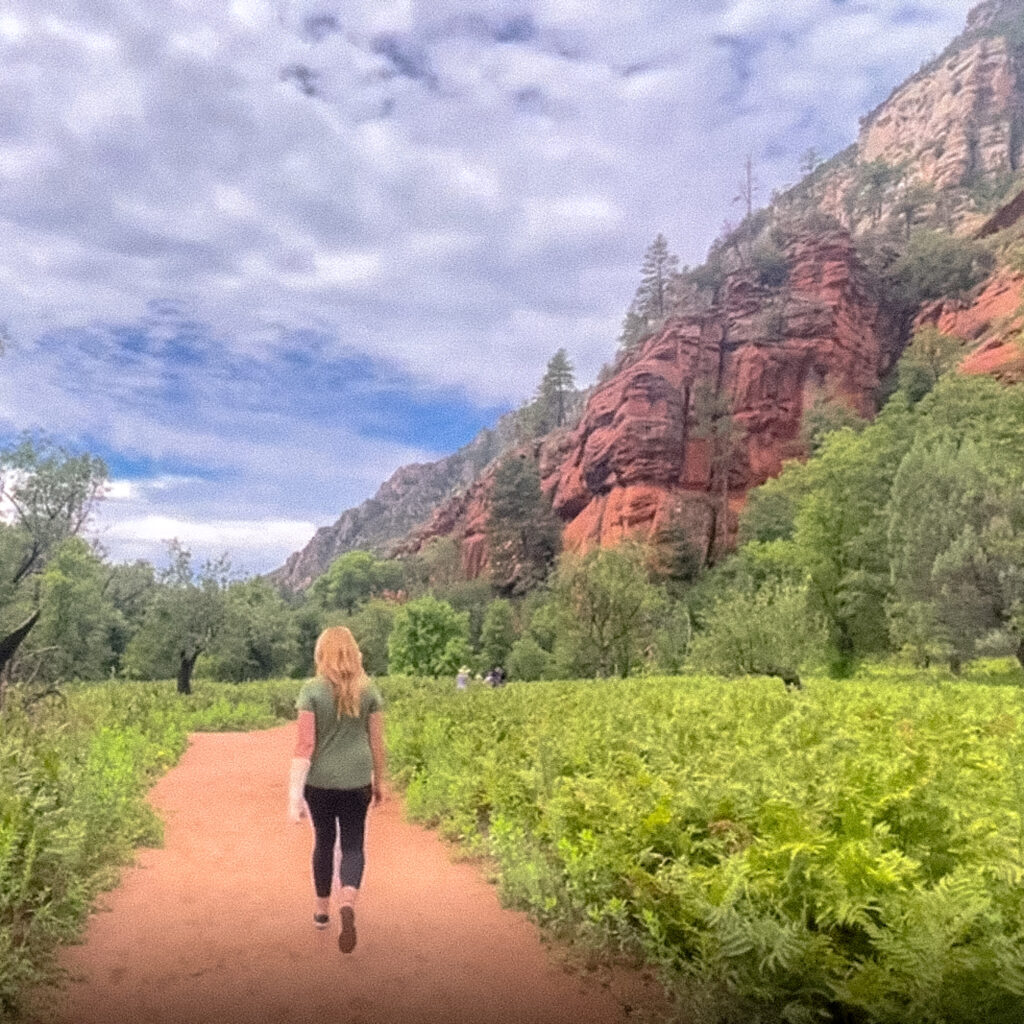
3. Bell Rock Loop Trail
The Bell Rock Loop Trail is one of the best short hikes in Sedona. I also think this is one of the easiest hikes in Sedona.
I love this hike for its fantastic views of Bell Rock and Courthouse Butte. It’s also got the easiest parking of all the trails in red rock country.
The Bell Rock Loop Trail will take you in a 3.6 mile loop around Bell Rock and Courthouse Butte. This is a well worn dirt trail that is mostly flat with virtually no elevation gain.
Since this is such an easy Sedona hike it’s also one of the busiest. For a little more peace and quiet plan to arrive early around sunrise.
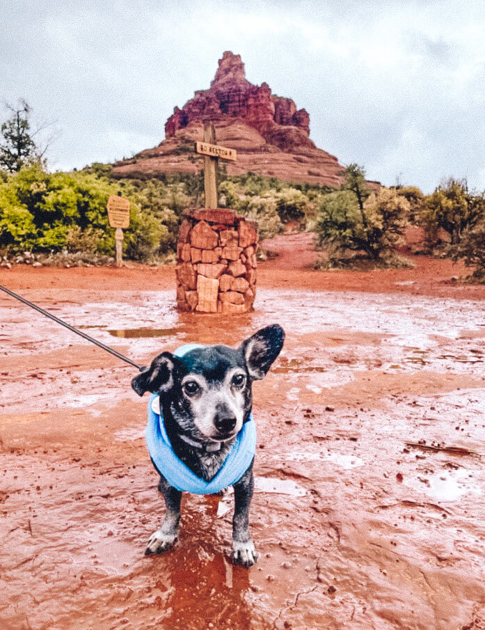
If you’re looking for easy hikes in Sedona with dogs I think this one is perfect. The trail is wide so its easy for others to pass by if your dog likes to make frequent stops along the way like mine does.
I also think this is a perfect option if you’re looking for easy hikes in Sedona for elderly persons.
Since this trail is wide and flat, one can move comfortably at any pace and not have to worry about blocking the way for faster hikers. There is plenty of room for people to go around.
Plus, as long as you stay on the loop trail, you’ll encounter no steps or steep inclines.
Bonus Tip: If you’re in Sedona on a clear night, head out to the Bell Rock Trailhead for some fantastic stargazing.
Sedona is a dark sky community and an extremely popular destination for those into astrophotography. On a clear night you may even have the chance to see the Milky Way.
How to get to the Bell Rock Loop Trail
Hot to find it: In Google Maps search “Bell Rock Trailhead.” You’ll notice there are two different trailhead parking areas, one north of Bell Rock, one south of Bell Rock. Either one is fine.
Trail length: The Bell Rock Loop Trail is a 3.6 mile round trip hike.
Approximate duration: About 1 hour to 90 minutes depending on your speed.
Parking: There is plenty of parking at both the southern and northern parking lot areas.
4. Sedona Airport Loop Trail

The Sedona Airport Loop Trail is a heavily trafficked loop trail near the Sedona airport.
The trail offers incredible views of the surrounding city and nearby red rock formations.
This trail is technically rated as moderately difficult due to the rocky terrain along the trail, but there is minimal elevation gain and I think this trail is on the easy side. Just keep in mind you’ll want to wear good shoes for this hike.
I find this hike to be especially beautiful around sunset when the red rocks light up off in the distance. Just keep in mind this is a popular spot to be at the end of the day, so parking at the small lot maybe difficult.
If you drive up the road a bit further to the Sedona Airport Scenic Overlook, there is a much larger parking lot up there. If you end up parking up there, you can take the Sedona View Trail down about 0.6 miles to meet up with the Sedona Airport Loop Trail.
The intersection of the Sedona Airport Loop Trail and the Sedona View Trail is also about where you’ll find the Airport Mesa Vortex. In fact, this may be the easiest vortex to get to in Sedona.
Where to find the Sedona Airport Loop Trail
Hot to find it: In Google Maps search “Airport Mesa” to obtain driving directions to the trailhead and parking lot.
Trail length: This is a 3.2 mile loop trail.
Approximate duration: About one hour to 90 minutes.
Parking: The parking area has room for about 8 vehicles. If the lot is full keep driving up the hill to the large parking lot at the Sedona Airport Scenic Lookout.
5. Fay Canyon Trail
The Fay Canyon Trail is another of my favorite easy Sedona hikes.
This is a well worn trail with impressive red rock views the entire way. There’s also a section near the middle of the trail where you can head off to see a sandstone arch.
You’ll want to use your Google Maps to find this arch as it’s not particularly well marked.
The Fay Canyon Trail is a good choice if you have kids with you. There’s almost no elevation gain and the trail is basically an easy walk.
Where to find the Fay Canyon Trail
Hot to find it: In Google Maps search “Fay Canyon Trailhead” to obtain driving directions to the trailhead and parking lot.
Trail length: This is a 1.3 mile out and back trail making it 2.6 miles round trip.
Approximate duration: About 90 minutes or so.
Parking: The parking area is fairly large and has room for about 3 dozen or so cars.
6. West Fork Trail
If you’re looking for easy hikes in Sedona with water consider the West Fork Trail.
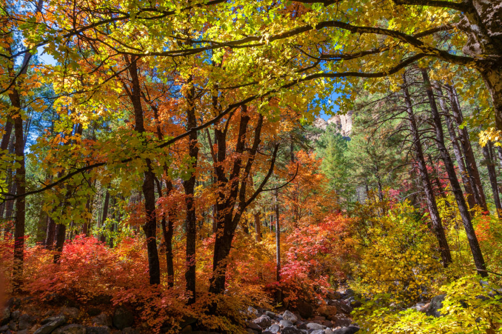
The West Fork Trail winds along Oak Creek and is especially beautiful in the fall months when you can spot some beautiful fall foliage.
While this is a fairly long trail, it is not particularly difficult. Though in the colder months you will find ice and snow along the trail which makes this hike a bit more challenging.
West Fork Trail is also dog friendly, so if you’re lucky you’ll spot some four legged friends along the way.
Where to find the West Fork Trail
Hot to find it: In Google Maps search “West Fork Trailhead” to obtain driving directions to the trailhead and parking lot.
Trail length: This is a 3.1 mile out and back trail making it 6.2 miles round trip from the parking area.
Approximate duration: About 2 hours and 30 minutes or so.
Parking: The parking area is fairly large. You should have no problem finding a spot on most days.
7. Lower Chimney Rock Trail

The Lower Chimney Rock Trail is a perfect option for some easy hiking in Sedona. This short 1.4 mile mostly flat loop trail features beautiful views of Chimney Rock and Little Sugarloaf.
I think this is a nice easy hike if you’re looking for a quick workout before heading out to do other things in the area.
If you’d like to add a bit more distance and difficulty to this hike, you can make the short climb up Little Sugarloaf. You’ll find some impressive views from the higher elevation.
I also think this is a good easy hike for sunrise. You’ll find easy parking at that time of the morning, plus the surrounding red rocks look very pretty in the morning light.
Where to find the Lower Chimney Rock Trail
Hot to find it: In Google Maps search “Thunder Mountain Trailhead” to obtain driving directions to the trailhead and parking lot. The Thunder Mountain Trail and Lower Chimney Rock trails intersect.
Trail length: This is a 1.4 mile loop trail.
Approximate duration: About 30 to 45 minutes.
Parking: There is a small parking area. Come early for easy parking.
Best Sunrise Locations in Sedona
I’m sharing my video on the best sunrise locations in Sedona. Not all of these sunrise locations are reachable via an easy hike, but some of them are.
If nothing else, at least you can see some beautiful scenery from around Sedona in this video.
If you’re interested, you can also subscribe to my channel. I post new videos every other Saturday.
I hope you’ve enjoyed this guide to the best Easy Hikes in Sedona and that I’ve inspired you to get outside and explore this beautiful destination. As always, thanks so much for reading.
Related Posts
Flagstaff to Sedona Road Trip Itinerary
The drive from Flagstaff to Sedona is one of the most beautiful drives in the…

Scottsdale to Sedona Day Trip Itinerary
10 Best Things to Do in Jerome Arizona
The best things to do in Jerome can all be enjoyed in one day or…
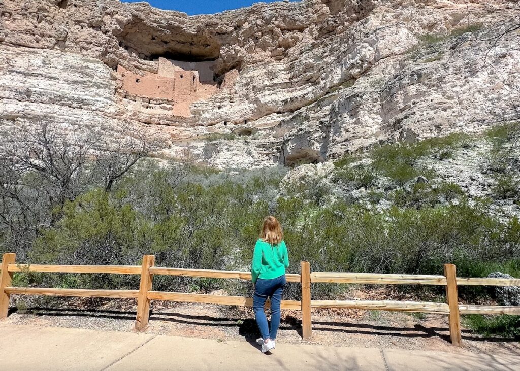
Montezuma Castle National Monument Travel Guide
This Montezuma Castle National Monument travel guide will help you plan your visit to this…

Things to do at Arcosanti Arizona
Arcosanti Arizona is one of the most unique and interesting cities in the Southwestern USA….
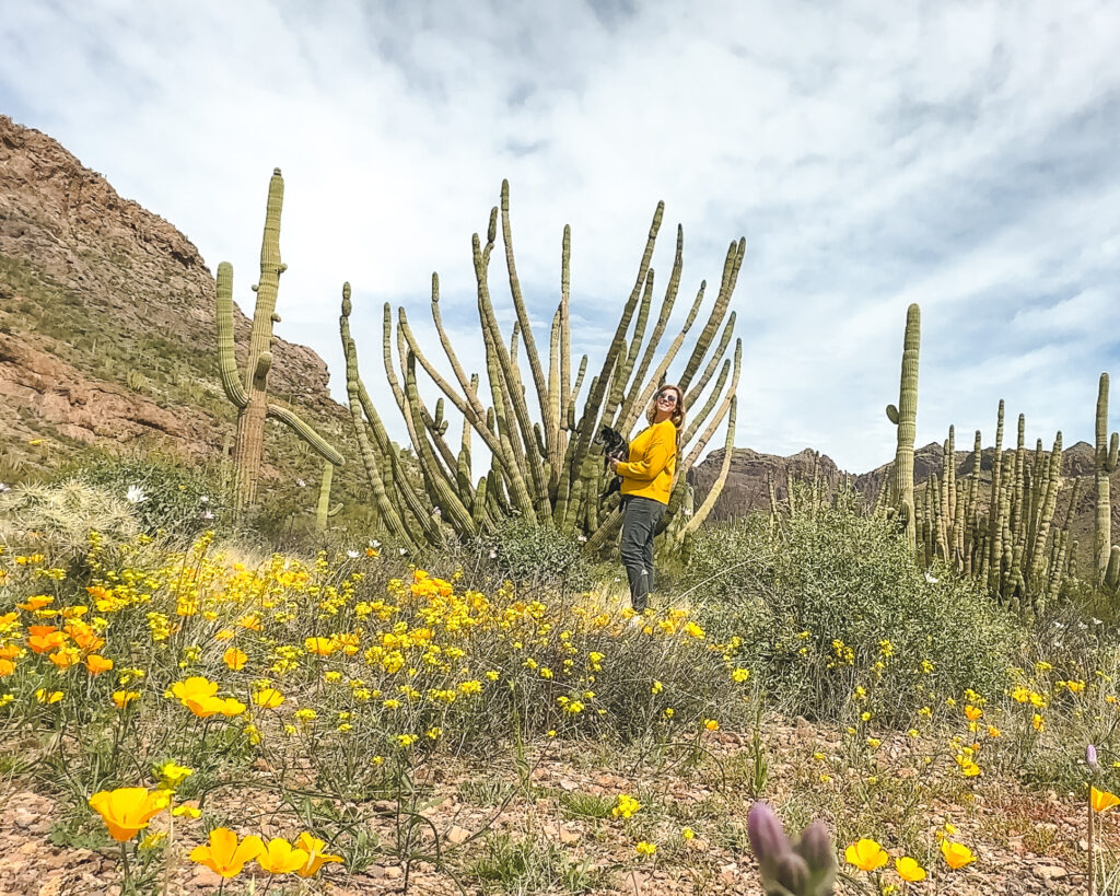
Organ Pipe Cactus National Monument Travel Guide
Organ Pipe Cactus National Monument is a must visit during an Arizona road trip. This…

Eden Fite
Solo Traveler | Dog Lover | Avoider of CrowdsI help busy people find creative ways to travel more.